Utility GIS Development, Web Applications & Asset Management
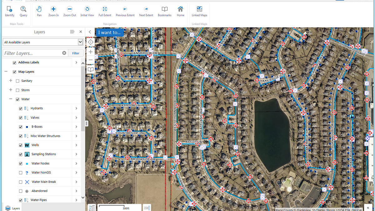
Baxter & Woodman was hired to consult and implement a Village-wide GIS, specifically involving the Community Development and Public Works Departments. The goal of this work was to establish an accurate basemap using the Kane County GIS data layers. Included in this project was the creation of an accurate address data layer and zoning map. Training staff on the use and function of the new software and data was also included. Beyond the development of the Village’s base data, Baxter & Woodman was responsible for the data collection and digitization of the Water, Storm Water, and Sanitary utility systems. Through the collection of several thousand utility structures with high-accuracy GPS systems, a complete utility GIS was created for the Village.
Baxter & Woodman was hired to implement a Cityworks Asset Management System within the Department of Public Works and provide access to the Village’s utility GIS data through configured ArcGIS Online maps and apps. Through the creation of the maps and apps we are able to remove the need for software such as ArcReader and provide access to the Village’s GIS from any connected computer or device via a web browser. By implementing Cityworks AMS within the Department of Public Works, the Village will be able to accurately manage and track the daily operations of the Department leading to increased efficiency and accurate reporting for budget and decision-making purposes.