GIS Development & Phased Implementation
In 2011, the District reached out to Baxter & Woodman to help develop a GIS from the ground up. At that time, most of their record keeping was in the form of paper and the institutional knowledge of seasoned staff. The District knew it was important to digitize and organize all of this information in a paperless environment that could grow over time. As a result, a robust and comprehensive GIS was developed and maintained through a phased approach:
- A full Needs Assessment was conducted, including research, interviews, software/hardware critiques, and future goal planning.
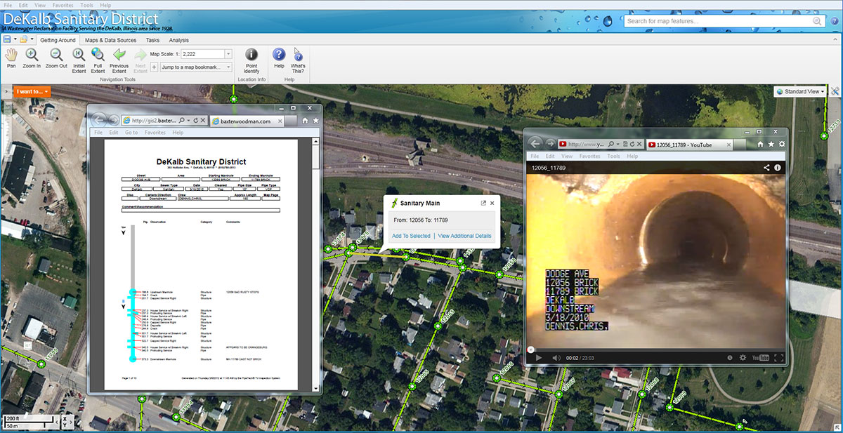
- Sanitary utility data was compiled through GPS field data collection and record drawings. The collected data was used as a base for an internal Web Based Mapping Application, which staff can use as a reference tool. This tool has helped non-GIS personnel access the information in the office as well as the field, increasing the usefulness of the data.
- Active hyperlinks to sewer videos and report documents (PDFs) were also included to further increase overall functionality.
The third phase of the project is currently underway. Our team is refining and preparing the data for use in a District-wide Geometric Network. This will allow the District to model complex scenarios and perform more in-depth analysis of data.
Location
Kishwaukee Water Reclamation District,
DeKalb, IL
DeKalb, IL